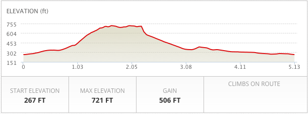
The Ballagh / Capponellan Loop – DISTANCE: 5.13 Miles / 8.25 KM CLIMB: 506 Feet
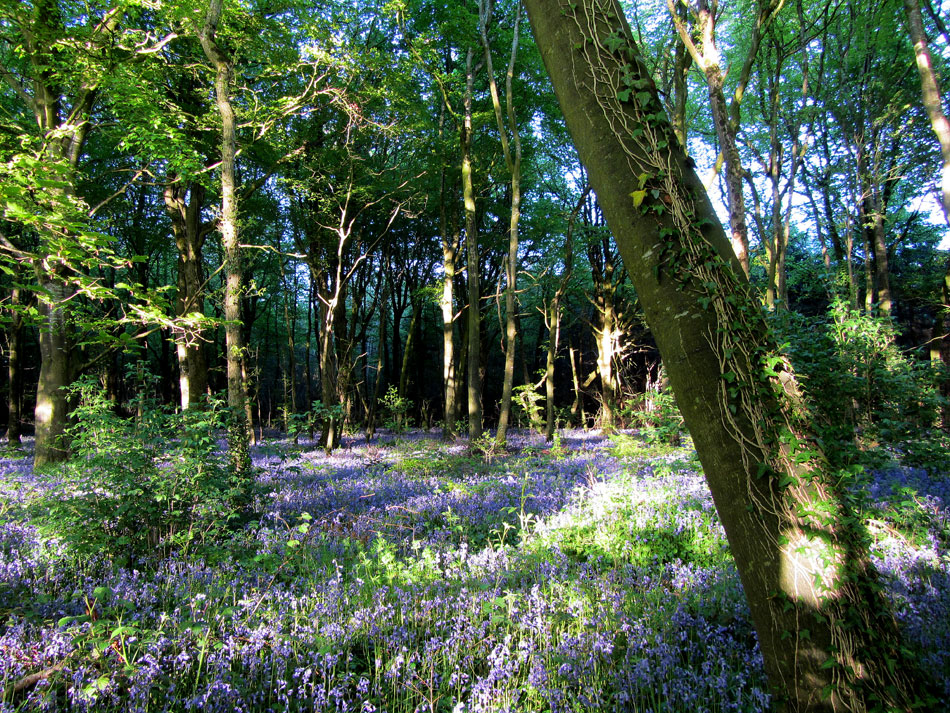
The starting point for this walk, for the purpose of mapping was The Square in Durrow Village. Once you continue up the Derry Road, the steep Ballagh road climb is encountered. This is a workout in itself, but once at the top turn right into the wood and follow the track, taking in the glorious views , until you reach the junction* where you will turn right and continue down Caponellen Wood to the main road.
*Before turning right at this junction it is worth locating The Beech Hill which is situated just beyond the turn on your left hand side. Beneath the canopy you will find a very steep tree lined incline which really is worth seeing.
Route Map For The Ballagh / Capponellan Loop
Ballagh / Capponellan Wood Loop, Durrow 3D Flyover
Image Gallery for Ballagh Loop Walk


